
About the Author

Featured Photographs
Reviews
Richard Piersol
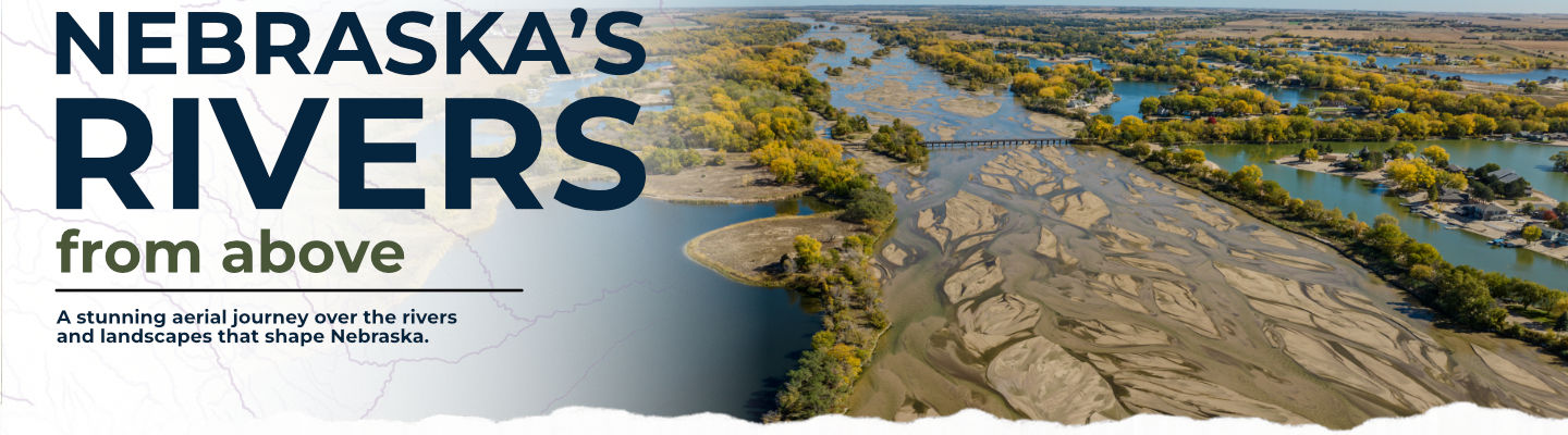
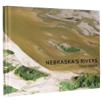
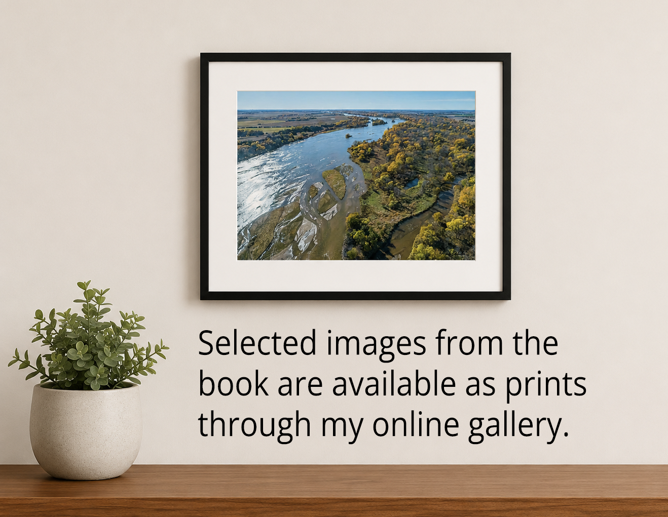
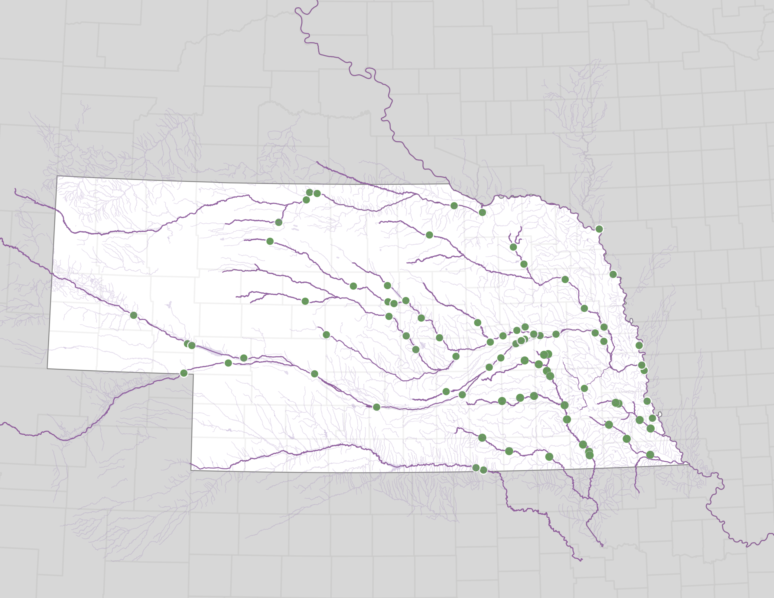
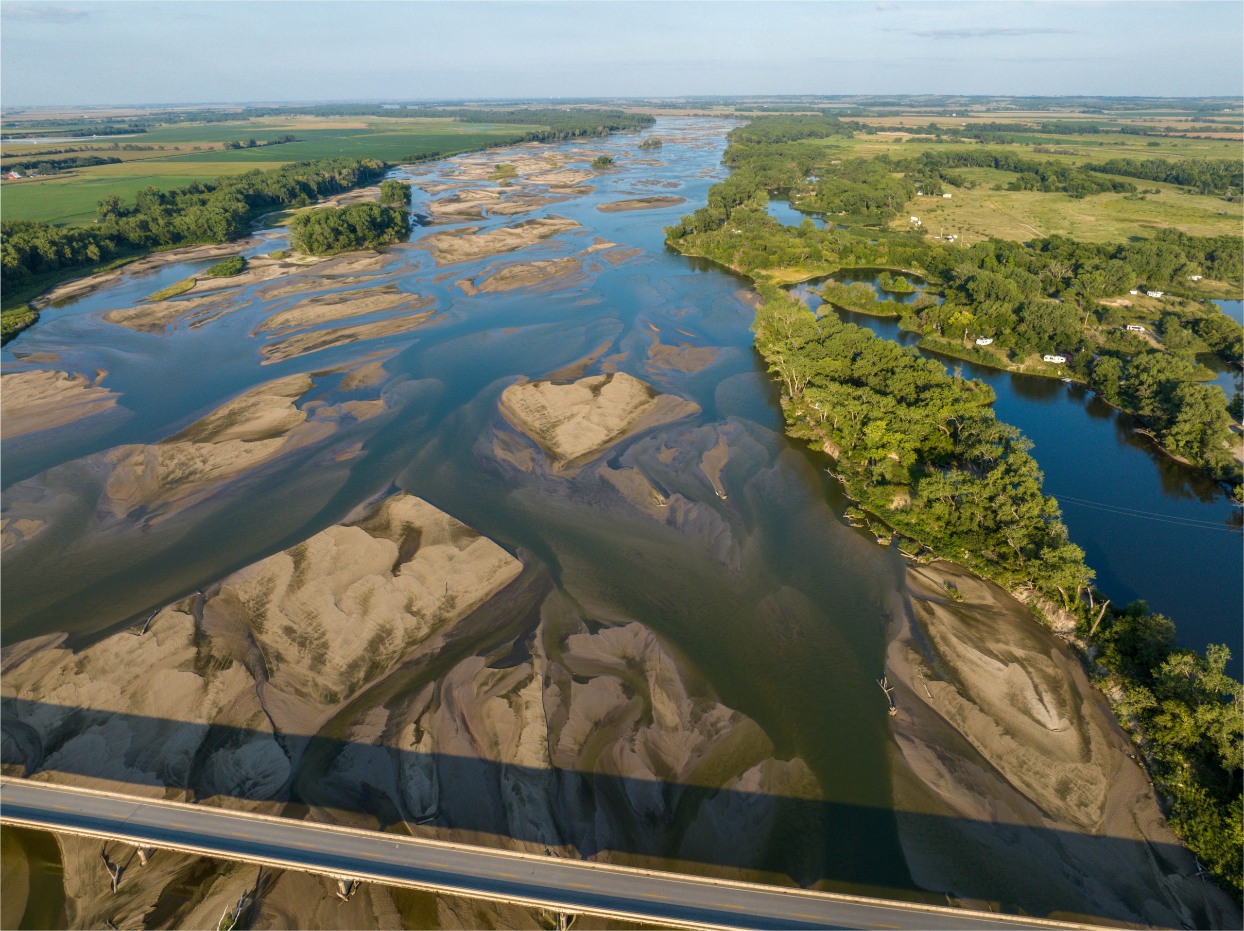
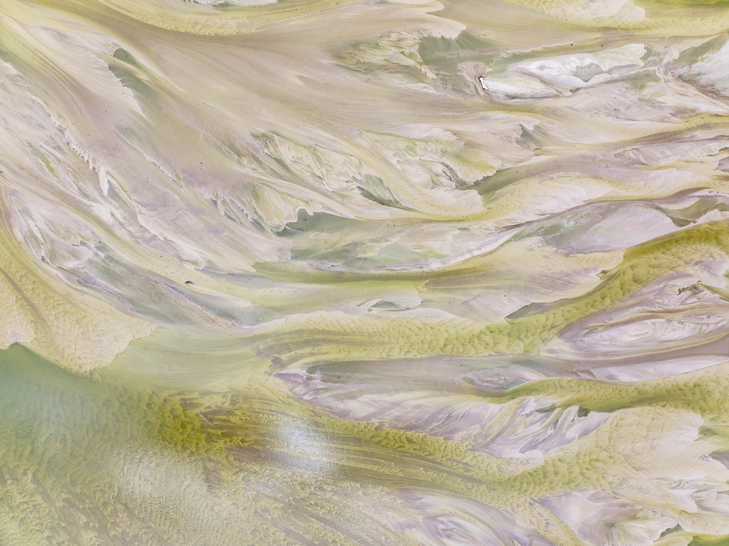
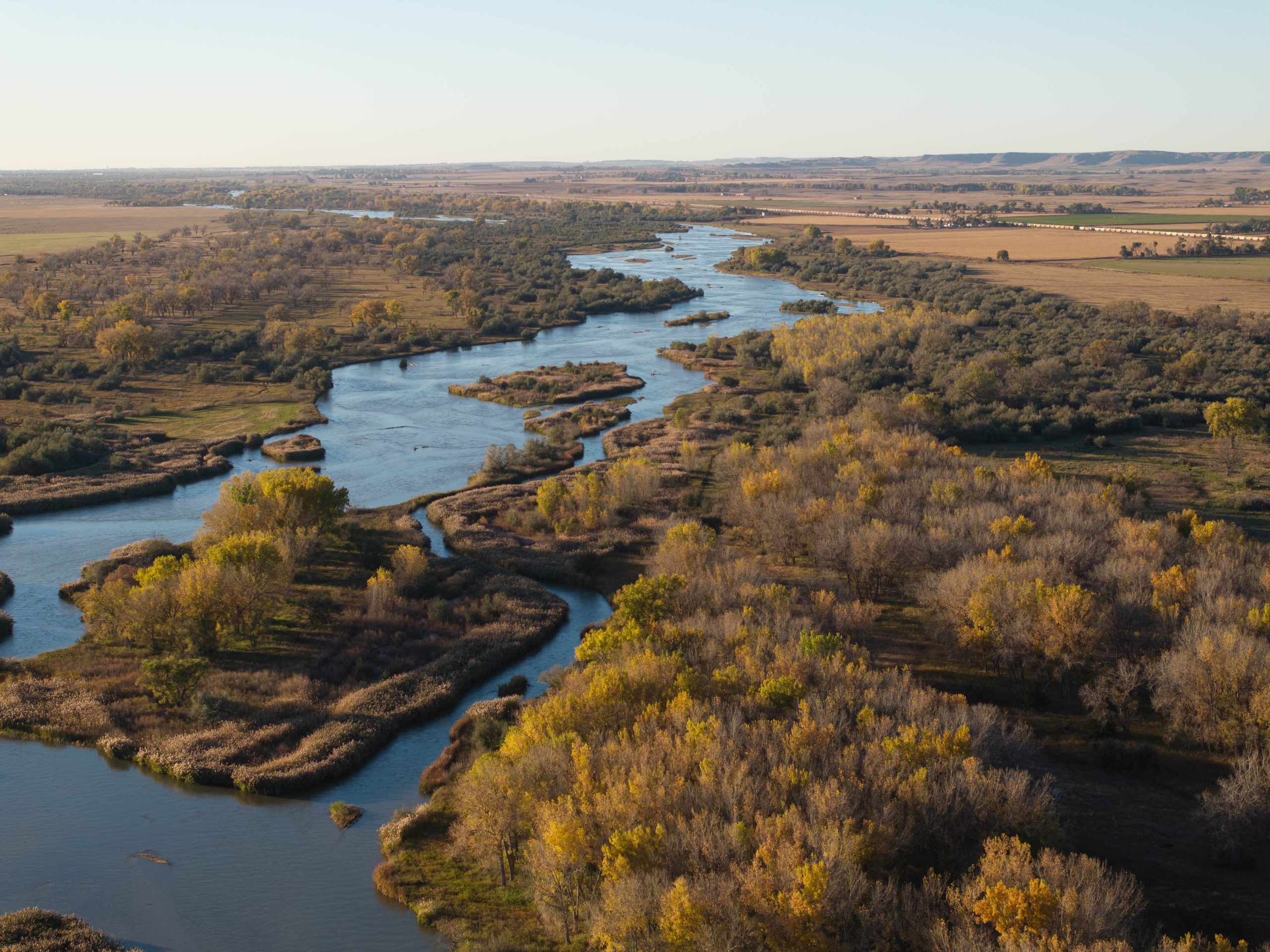
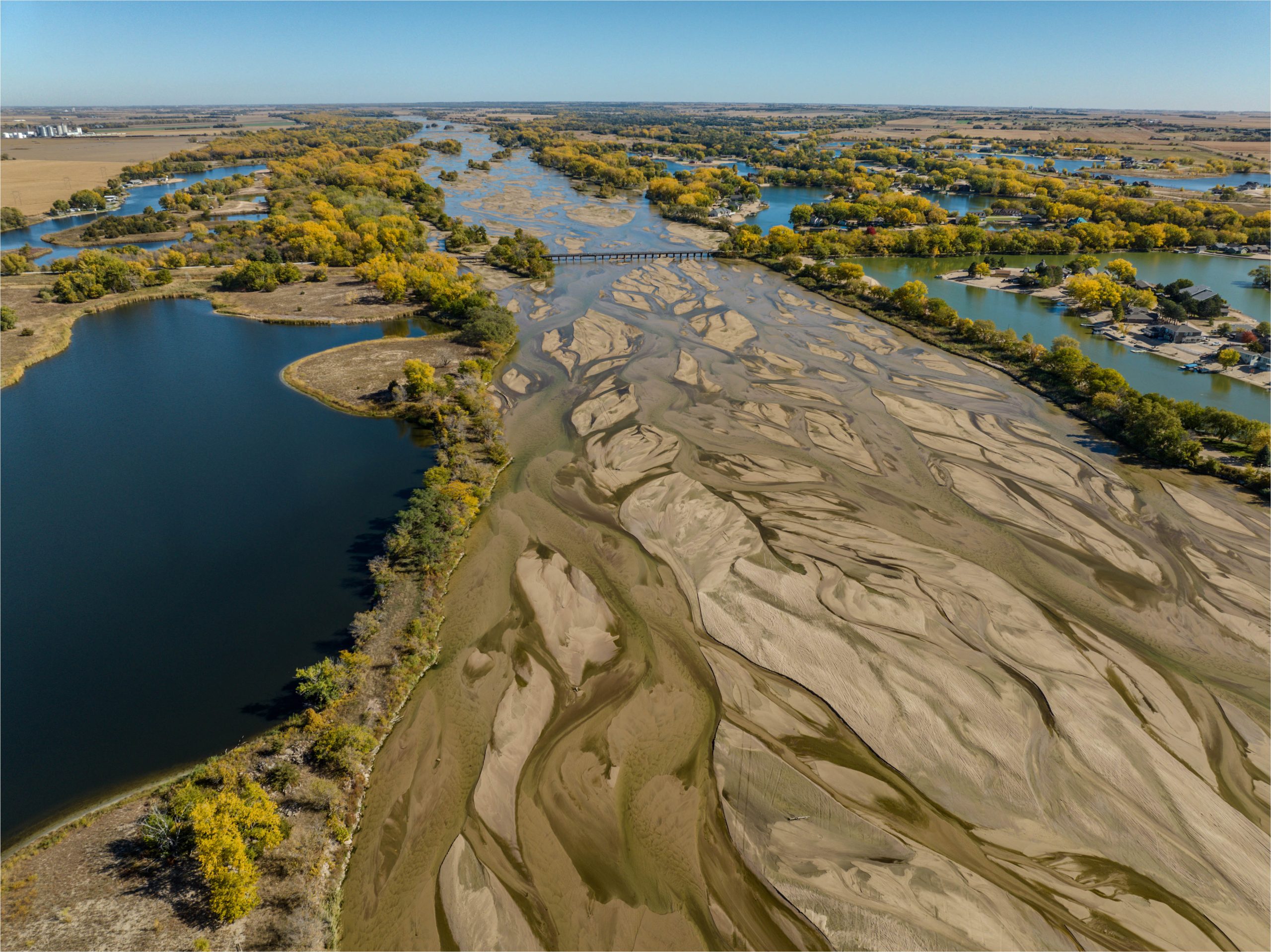
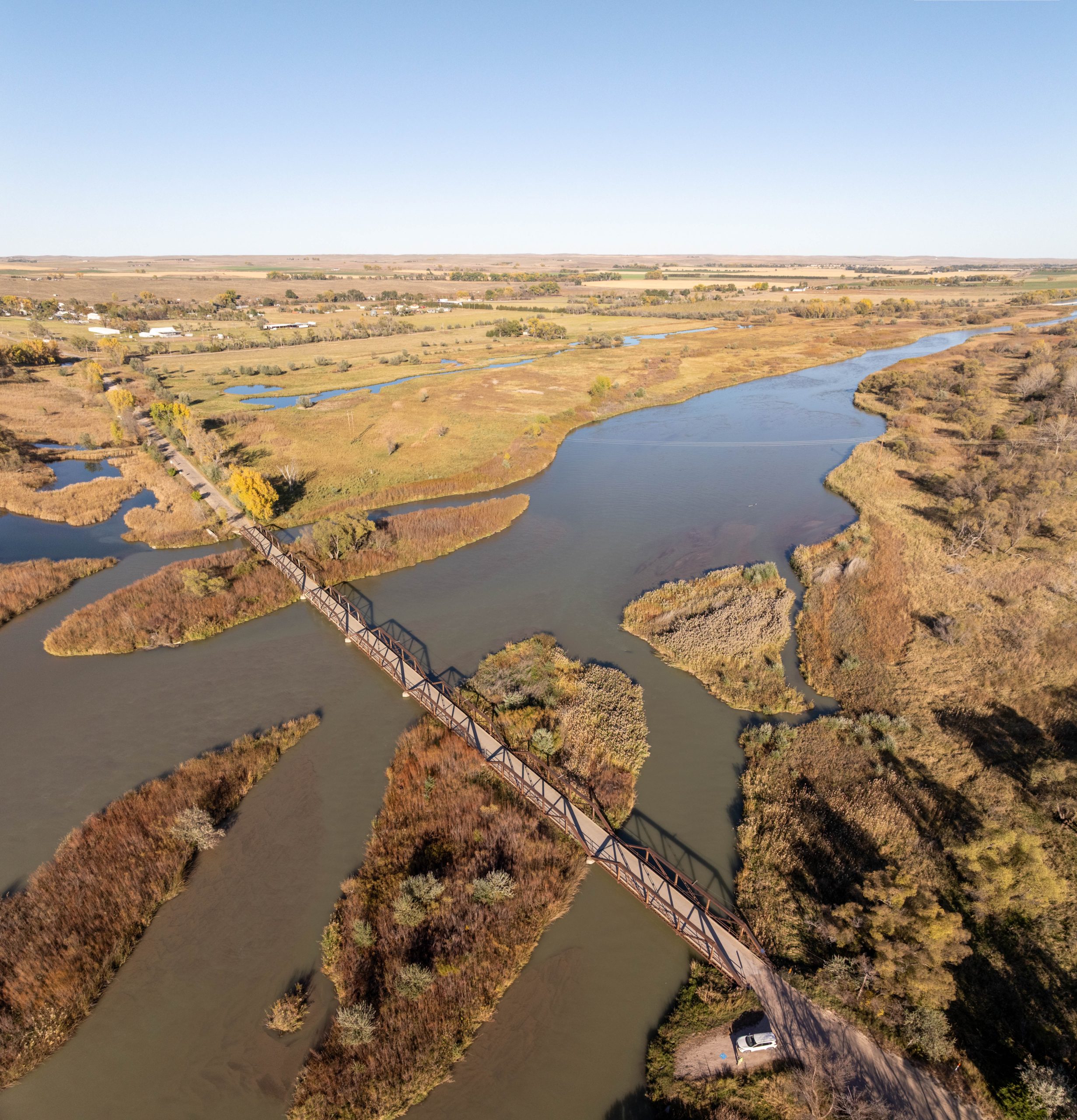
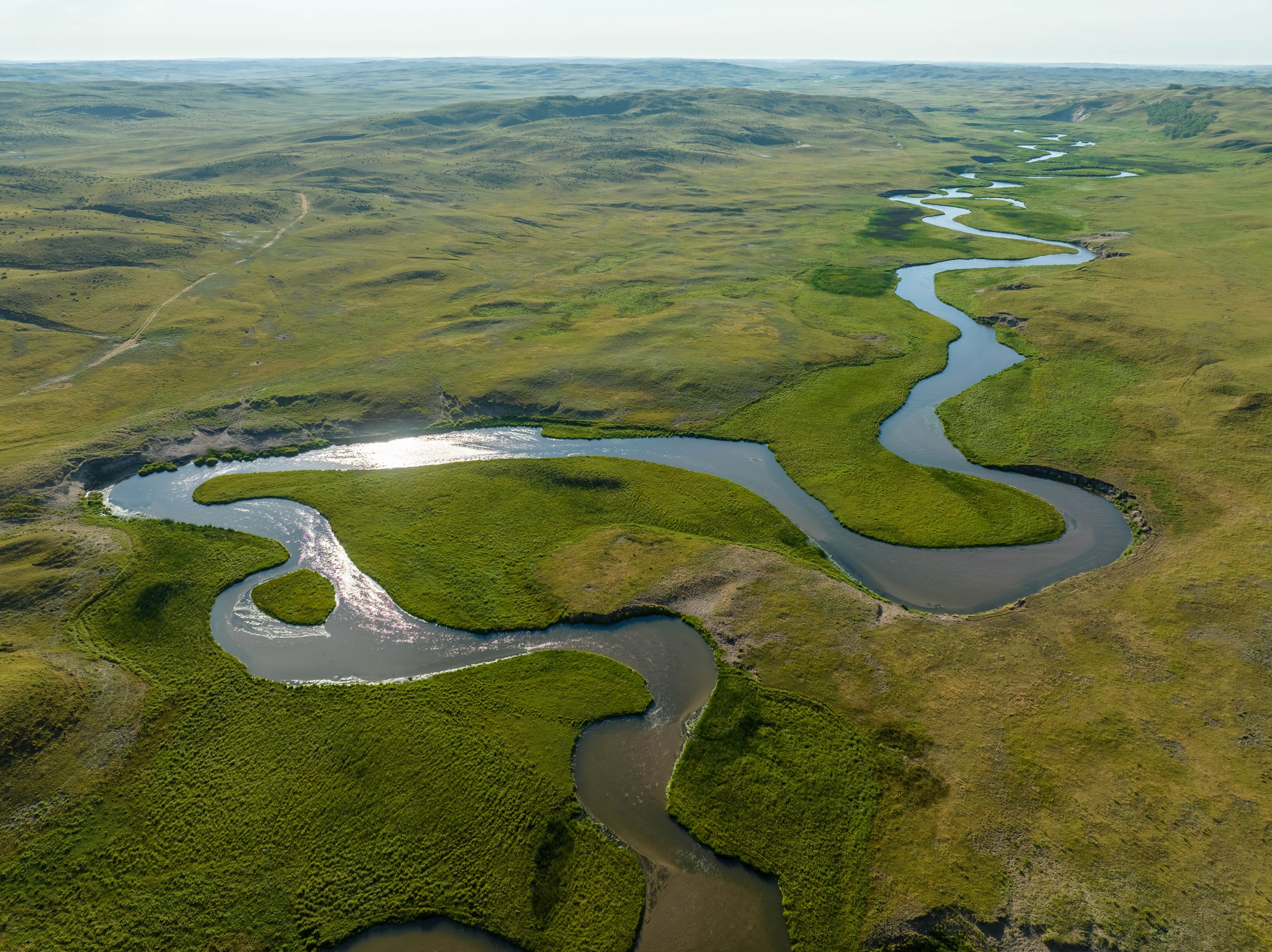
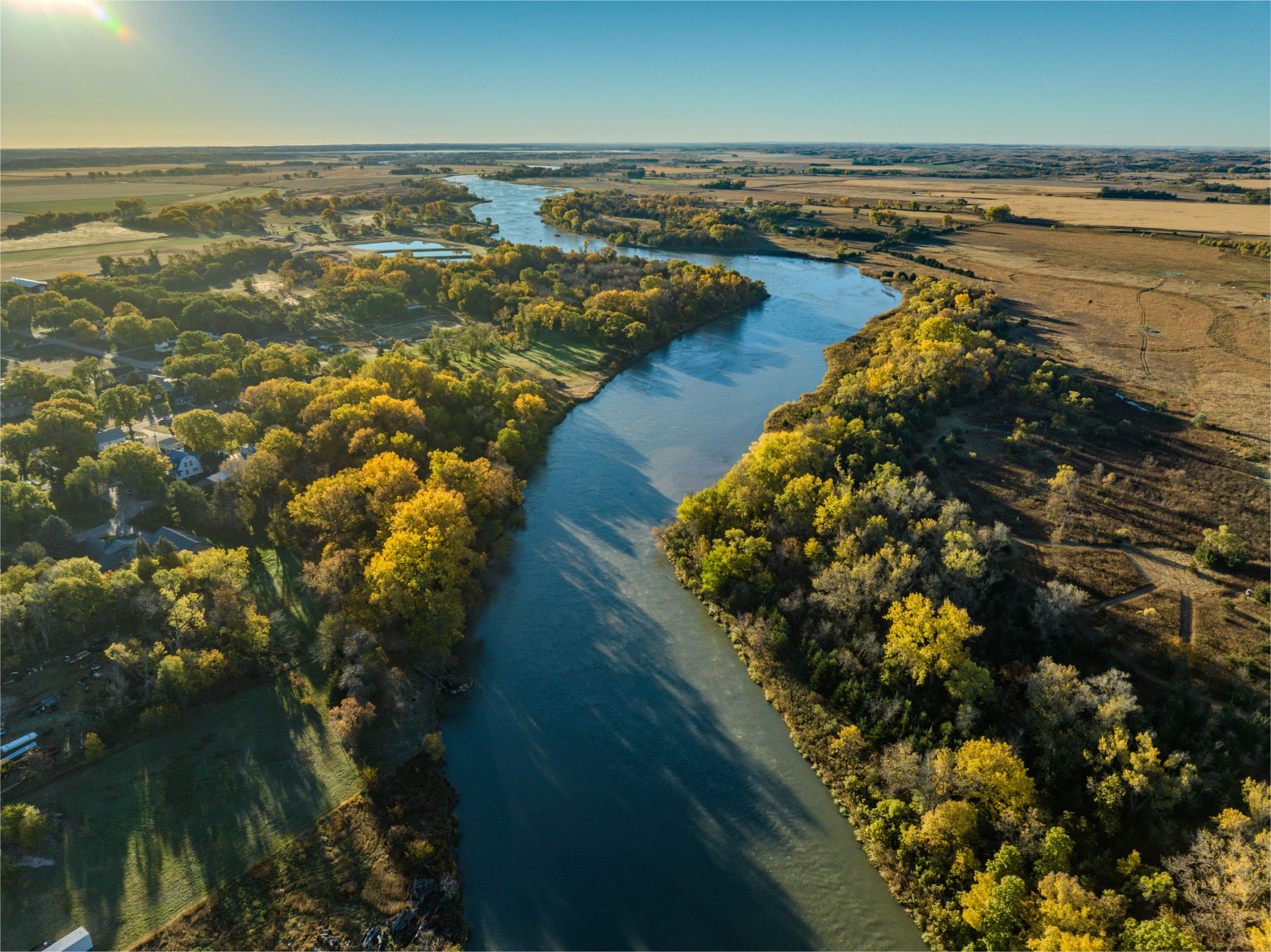
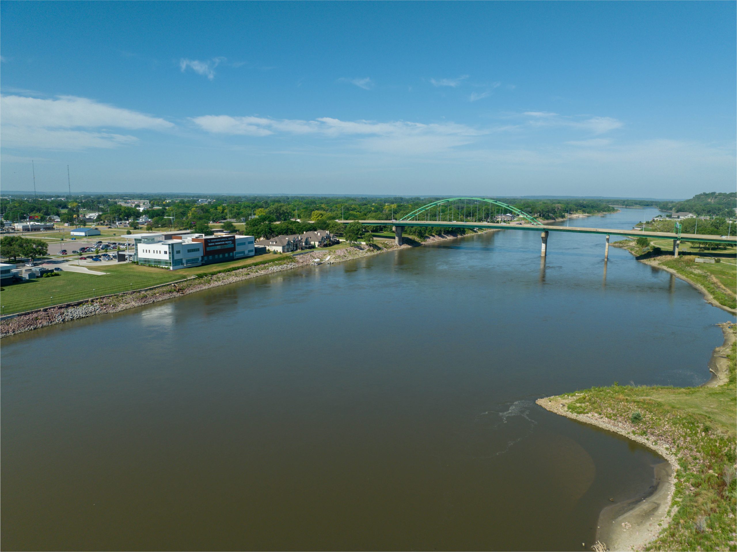
The state of Nebraska has about 79,000 miles of rivers and streams. Mark Dahmke has shot photographs of some of the more interesting flows across this vast state in the middle of the country. Mark has a drone photography business and these pictures are shot from on high, from drones. This view makes some of these photographs more like abstract paintings, visual studies of the natural forces at work in a river, water and soil and sand taking the path of least resistance. Others are scenes of improbable beauty comparable to those painted by the early frontier artists. I've been looking through this book repeatedly for days, in part because one of these rivers tried to come in the back door of the residential hospital where I was born, as I was born, 76 years ago. It receded before doing any damage. That bonded me and the river. I've known Mark for 40 years and this is my favorite of his works because it's the most recent. The commentary is enlightening. The photography riveting. The views like nothing you've seen before.
Visit my online galleries